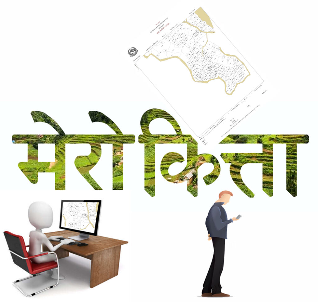
Here’s a detailed validation of costing for land surveys, plotting, and related services in Nepal, based on available data and regional practices:
1. Cost of Land Surveys in Nepal
Land survey costs in Nepal vary significantly depending on the type of survey, size of land, location, and technology used.
- General Boundary Survey: For small plots (e.g., residential land), costs typically range from NPR 3,000 to NPR 10,000 depending on complexity and location .
- Topographic or Engineering Surveys: For infrastructure projects, costs rise due to advanced tools like LiDAR or drones. For example, aerial photo scans by Nepal’s Survey Department cost NPR 350 per sheet (23×23 cm) .
- Cadastral Surveys: Government-regulated cadastral mapping fees are standardized. For instance, purchasing a district map (1:125,000 scale) costs NPR 50 per sheet, while digital topographic databases (1:25,000 scale) cost NPR 1,000 per seat .
2. Fees for Mapping Services
The Survey Department of Nepal provides official mapping services at fixed rates:
| Service | Cost (NPR) |
|---|---|
| Topo Map (1:50,000) | 150 per sheet |
| District Map (1:125,000) | 50 per sheet |
| Digital Topographic Data | 1,000–300,000 (varies) |
| Orthophoto Image (1:5,000) | 3,125 per sheet |
| Geodetic Control Points | 250–3,000 (order-based) |
For large-scale projects, seamless GIS data for “Whole Nepal” layers (e.g., transportation, hydrography) can cost up to NPR 300,000 .
3. Factors Influencing Survey Costs
- Terrain: Mountainous regions (e.g., Himalayas) incur higher costs due to accessibility challenges. Surveys in remote areas may cost 20–30% more than in urban zones .
- Technology: Traditional methods (ropes, pegs) are cheaper but less precise. GPS and LiDAR surveys improve accuracy but raise costs (e.g., drone surveys add NPR 5,000–15,000 depending on area) .
- Legal Requirements: Registering land requires a survey report and trace map, adding administrative fees (e.g., NPR 2,000–5,000 for documentation) .
4. Land Plotting and Design Costs
- Residential Plotting: Designing a residential layout in urban areas (e.g., Kathmandu) costs NPR 20,000–50,000 for small plots, including boundary marking and utility integration .
- Commercial/Industrial Plots: Larger projects involving zoning compliance and environmental assessments may cost NPR 100,000+ .
5. Cost of Land Measurement Conversion Tools
- Digital Converters: Online tools (e.g., ACT Nepal’s converter) are free and simplify converting traditional units (Ropani, Bigha) to metric units .
- Professional Services: Hiring surveyors for unit conversions or dispute resolution costs NPR 5,000–15,000 per case .
6. Legal and Administrative Costs
- Land Registration: Post-survey registration at local land revenue offices involves fees of 1–3% of the property’s value .
- Dispute Resolution: Boundary disputes may require re-surveys, costing NPR 10,000–30,000 depending on litigation complexity .
Key Considerations for Cost Efficiency
- Use Government Resources: The Survey Department offers standardized maps and data at lower rates than private firms .
- Bundle Services: Combining surveys (e.g., boundary + topographic) reduces per-unit costs .
- Verify Credentials: Ensure surveyors are licensed by the Nepal Engineering Council to avoid fraud .
Conclusion
Land survey and plotting costs in Nepal are shaped by geography, technology, and regulatory requirements. While traditional methods remain affordable, adopting GPS and GIS improves accuracy for critical projects. Always cross-verify costs with the Survey Department or licensed professionals to avoid discrepancies .
For detailed fee structures, refer to the Survey Department’s official portal or consult certified surveyors.


