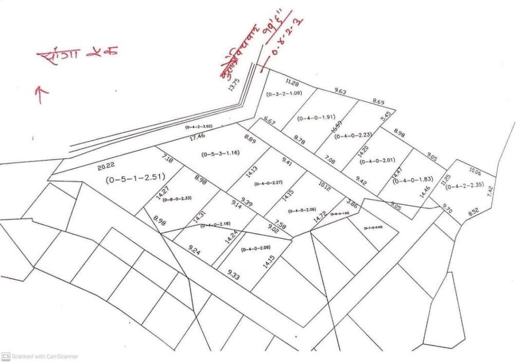
Land measurement in Kathmandu blends traditional practices with modern surveying techniques. Here’s a concise guide, including how professional surveyors ensure accuracy:
Traditional Units vs. Metric System
- Traditional Units:
- Ropani (1 Ropani = 5476 sq.ft / 508.74 sq.m).
- Subunits: Anna, Paisa, Daam (used in rural areas).
- Metric System:
- Government records use hectares (ha) and square meters (sq.m).
How to Measure Land with a Surveyor
Professional surveyors in Kathmandu follow strict protocols to ensure precise measurements. Here’s how the process works:
1. Hire a Licensed Surveyor
- Verify credentials through Nepal’s Department of Survey (DoS). Licensed surveyors use advanced tools like GPS, total stations, and theodolites.
- Tip: Ask for a “Cadastral Survey Number” to cross-check records.
2. Field Visit and Boundary Marking
- Surveyors visit the site to identify physical boundaries (e.g., fences, roads, natural markers).
- They reference the Cadastral Map (1:500 scale) to align the plot with government records.
3. Using Surveying Tools
- Total Station: Measures angles and distances to create a digital map of the plot.
- GPS (RTK): Provides centimeter-level accuracy for large or irregularly shaped plots.
- Theodolite: Verifies angles between boundary points.
4. Documenting Measurements
- Data is compiled into a Survey Report (called “Jamma” in local terms), including:
- Plot dimensions (in sq.m and Ropani).
- Boundary coordinates.
- Discrepancies (if any) between physical and recorded boundaries.
5. Legal Validation
- The report is submitted to the Land Revenue Office for updating the Lal Purja (land ownership certificate).
- For disputes, a Re-Survey by the Department of Survey is mandatory.
Why Use a Surveyor?
- Avoid Disputes: Kathmandu’s rapid urbanization has led to overlapping claims and encroachment.
- Legal Compliance: Only licensed surveyors can issue reports accepted by government offices.
- Accuracy: Manual measurements (e.g., using ropes or chains) are error-prone; modern tools ensure precision.
Challenges in Kathmandu
- Cost: Professional surveying can be expensive (NPR 10,000–50,000 depending on plot size).
- Time: Bureaucratic delays in updating records.
- Old Records: Some maps date back decades and lack digital references.
Pro Tips for Landowners
- Always request a digitized survey report with GPS coordinates.
- Cross-check with the NaPa Portal (National Land Project) for updated records.
- Resolve discrepancies before purchasing or selling land.
Final Thoughts
In Kathmandu, where land is scarce and property disputes are common, hiring a licensed surveyor is non-negotiable for accurate measurements and legal security. Combine traditional knowledge with modern technology to safeguard your investment.
Sources: Department of Survey Nepal, Land Management Training Center, Kathmandu Metropolitan City.


