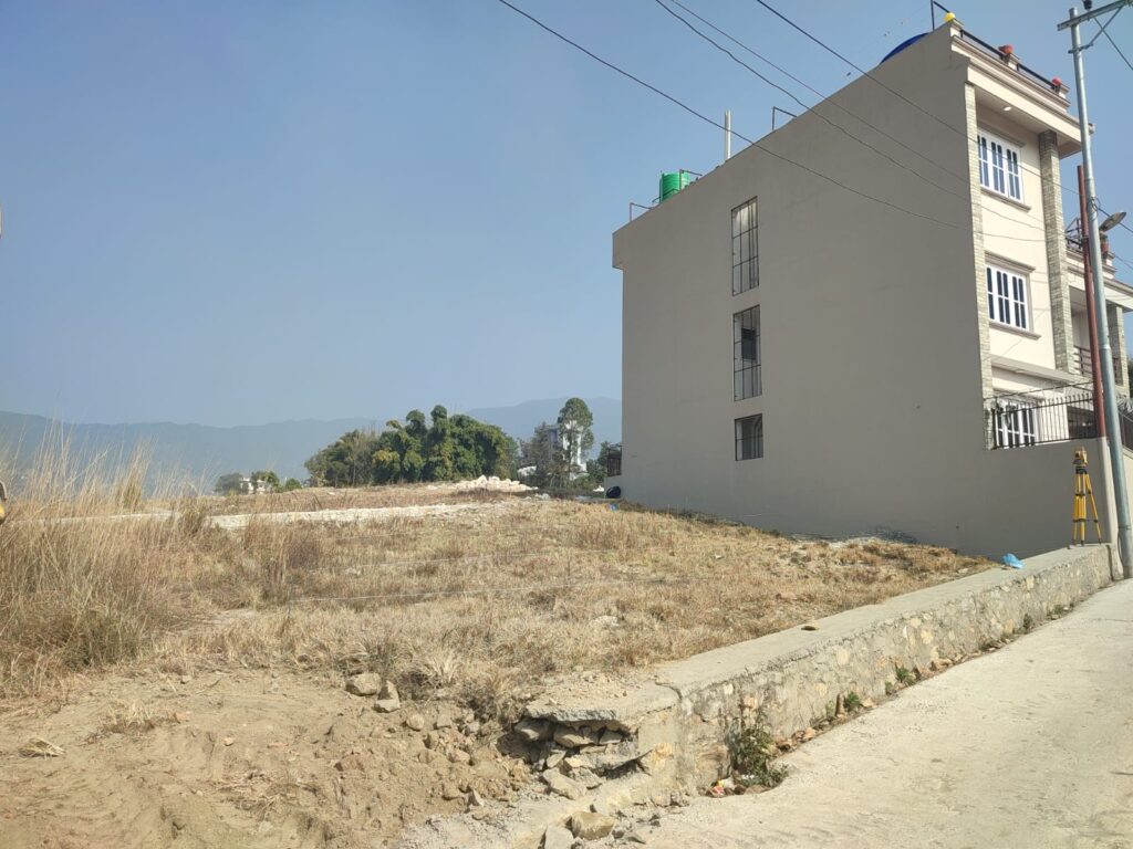
Land is a cornerstone of Nepal’s economy, culture, and social structure. With diverse geography—from the Himalayan peaks to the Terai plains—effective land management is critical for development, legal security, and resource planning. This blog explores Nepal’s land measurement systems, plotting practices, survey methodologies, and the role of technology in shaping its land governance.
1. Land Measurement in Nepal: Bridging Tradition and Modernity
Nepal uses a mix of traditional and metric units for land measurement, reflecting its cultural heritage and gradual modernization.
- Traditional Units:
- Ropani: 1 Ropani = 508.74 m² (historically tied to the hilly regions).
- Bigha: Varies by region—1 Bigha ≈ 6,772 m² in Terai, 13,310 m² in Hills.
- Kattha and Dhur: Smaller subdivisions (1 Kattha = 20 Dhur; 1 Dhur ≈ 16.93 m² in Terai).
- Metric System:
The government promotes hectares (1 Ha = 10,000 m²) and square meters for standardization, especially in urban planning and legal documentation.
Challenges: Discrepancies between traditional and metric systems often lead to disputes during land sales or inheritance. Accurate conversion and updated records are essential for transparency.
2. Land Plotting: Structuring Nepal’s Growth
Land plotting involves subdividing larger tracts into smaller, legally defined plots for residential, agricultural, or commercial use.
- Key Considerations:
- Topography: Steep slopes in hilly regions require terracing, while flat Terai lands allow grid layouts.
- Access: Road connectivity and public infrastructure (water, electricity) influence plot value.
- Zoning Laws: Municipal regulations dictate land use (e.g., residential vs. industrial).
- Urban vs. Rural:
Urban areas like Kathmandu prioritize high-density plotting, whereas rural regions focus on agricultural efficiency.
3. Land Plotting Design: Balancing Utility and Sustainability
Effective plotting design ensures optimal land use while addressing environmental and social needs.
- Principles:
- Infrastructure Integration: Positioning roads, drainage, and utilities early in the design phase.
- Sustainability: Preserving green spaces, managing stormwater, and minimizing soil erosion.
- Community Needs: Allocating areas for schools, hospitals, and public parks.
- Professionals Involved: Civil engineers, architects, and urban planners collaborate to create designs compliant with Nepal’s National Building Code.
4. Land Survey in Nepal: The Foundation of Ownership
Land surveys establish legal boundaries, resolve disputes, and support development projects.
- Types of Surveys:
- Cadastral Surveys: Map property boundaries for land registration (managed by the Survey Department under the Ministry of Land Management).
- Topographic Surveys: Detail natural and man-made features for engineering projects.
- Tools and Technology:
While traditional chains and theodolites are still used in remote areas, modern tools like GPS, Total Stations, and GIS software improve accuracy and efficiency.
Challenges: Outdated records, difficult terrain, and manual processes slow progress. The government’s push for digital cadastral mapping aims to address these issues.
5. Survey in Nepal: Beyond Land Boundaries
Surveys support diverse sectors, from agriculture to infrastructure:
- Engineering Surveys: Critical for roads, bridges, and hydroelectric projects. Drones and LiDAR are increasingly used to map challenging terrains.
- Construction Surveys: Ensure structures align with designs and comply with safety standards.
- Agricultural Surveys: Optimize irrigation and land use for farming.
Regulation: The Survey Department oversees standards, while private firms contribute to large-scale infrastructure projects.
6. Land Trace Maps: Visualizing Ownership
A land trace map (or cadastral map) is a legal document outlining parcel boundaries, ownership, and geographic features.
- Purpose:
- Prevent boundary disputes.
- Facilitate taxation and land valuation.
- Support disaster management (e.g., identifying flood-prone areas).
- Digitization:
Initiatives like the National Land Use Project aim to replace paper-based maps with digital GIS platforms, improving accessibility and reducing fraud.
7. Engineering Surveys: Building Nepal’s Future
Engineering surveys are indispensable for infrastructure development:
- Applications:
- Roads and Highways: Aligning routes through mountainous terrain (e.g., Kathmandu-Terai Expressway).
- Hydropower: Assessing topography for dam and tunnel construction.
- Urban Development: Mapping utilities for smart cities.
- Innovations:
3D modeling and BIM (Building Information Modeling) enhance precision in projects like the Pokhara Regional International Airport.
Conclusion: Toward a Systematic Future
Nepal’s land management practices are evolving, blending tradition with technology. Standardizing measurement units, adopting digital surveys, and improving land trace maps are vital steps in reducing disputes and fostering sustainable development. Collaboration between government bodies, engineers, and communities will ensure equitable growth, preserving Nepal’s heritage while building a resilient future.
By understanding these systems—from ancient units to drone surveys—stakeholders can navigate Nepal’s complex land landscape with confidence.


